
A Full Service Geospatial Information Technology (GIS) Services Firm
At Tech Maven Geospatial we lead the way with custom solutions that always keep the end user in mind when it comes to functionality they need and usability.
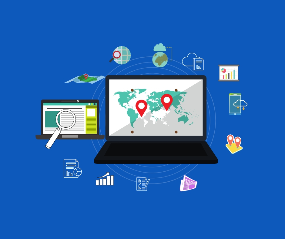
Geospatial Technologies and Data.
Our specialties are in Geospatial Technologies and data. We build mobile apps, mapping portals, and Geospatial content management and exploitation systems, we are experts in spatial data processing, map tiling, desktop and web application development, mobile mapping applications, consulting and support services, advanced photogrammetry, and remote sensing.
We are Members of the Open Geospatial Consortium OGC & Partipate in Code Sprints, SWIGS, Engineering Reports, Test Beds
We are Supporter and an Active Contributor to Free and Open Source for Geospatial Projects on GitHub and Gitlab and Azure DevOps and Bitbucket
Deployment Options & Licensing
Docker / Kubernetes
Containerized deployments for scalability.
Linux Packages (RPM/DEB)
Native support for enterprise
Linux.

Virtual Appliances
OVF or Hyper-V VHDX formats for virtualization
Windows Executable
Easy installation for Windows environments.
Annual License Cost
Transparent yearly pricing model.
On-Prem or Cloud
Choice of infrastructure.
Perpetual & Enterprise Options
For large-scale organizations.
Value-Added Services
✔ Custom Development – 1 month included with package.
✔ Deployment & Implementation Support – Expert help for fast setup.
✔ Data Integration – Connect with your existing enterprise data.
✔ Pre-Configured Pricing – Flexible options based on project scope.
Services
Our Services
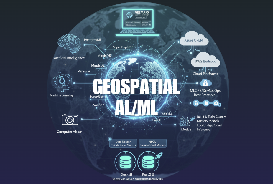
Geospatial AI/ML

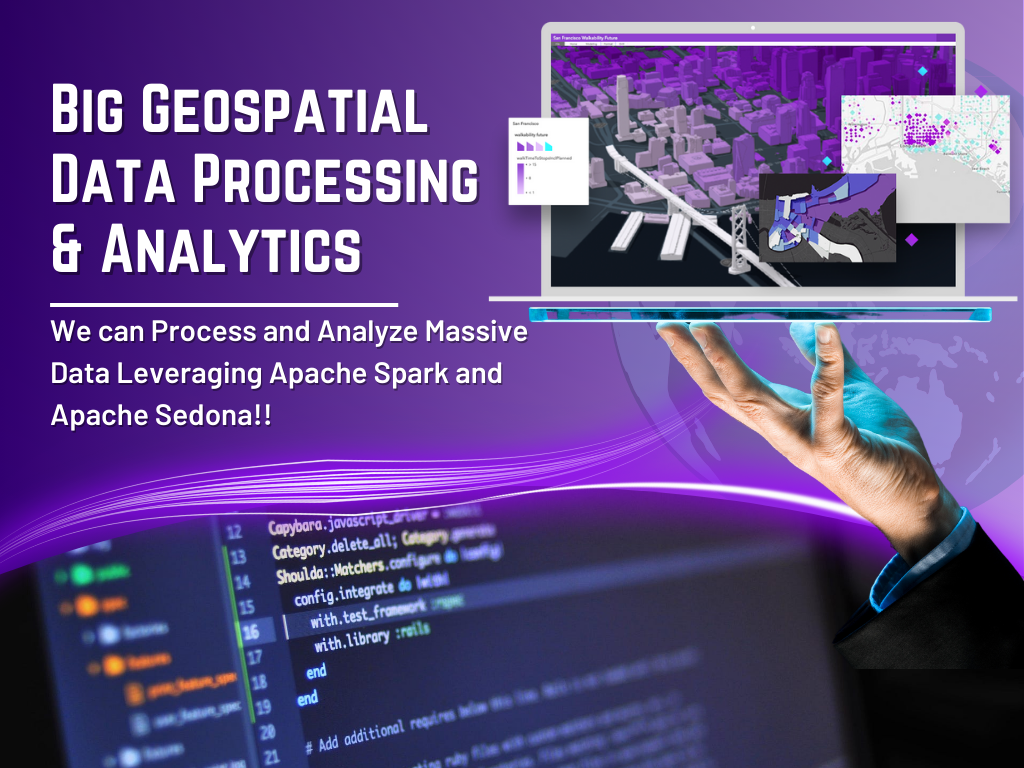
Big Geospatial Data Processing
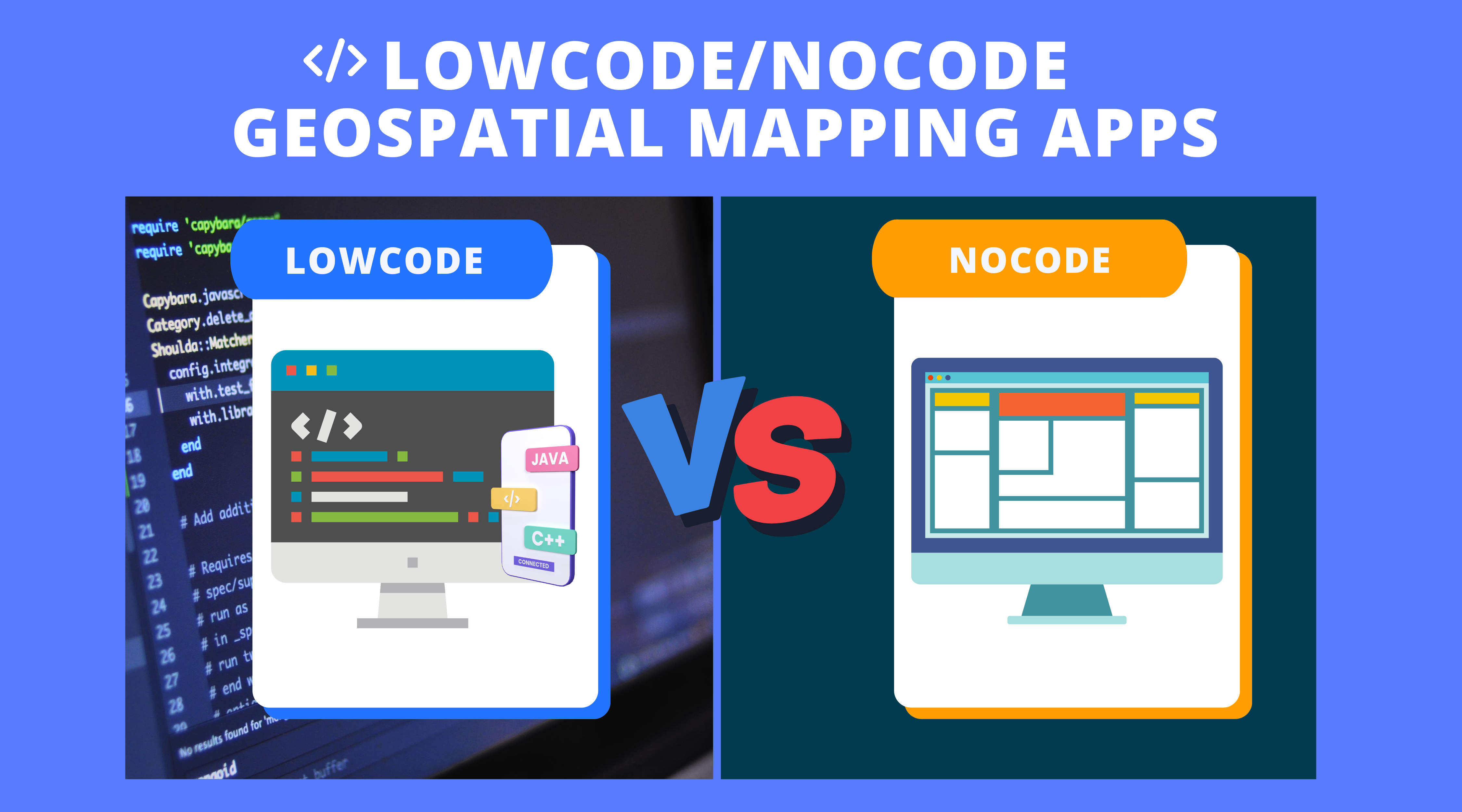
LowCode Geospatial Mapping Apps
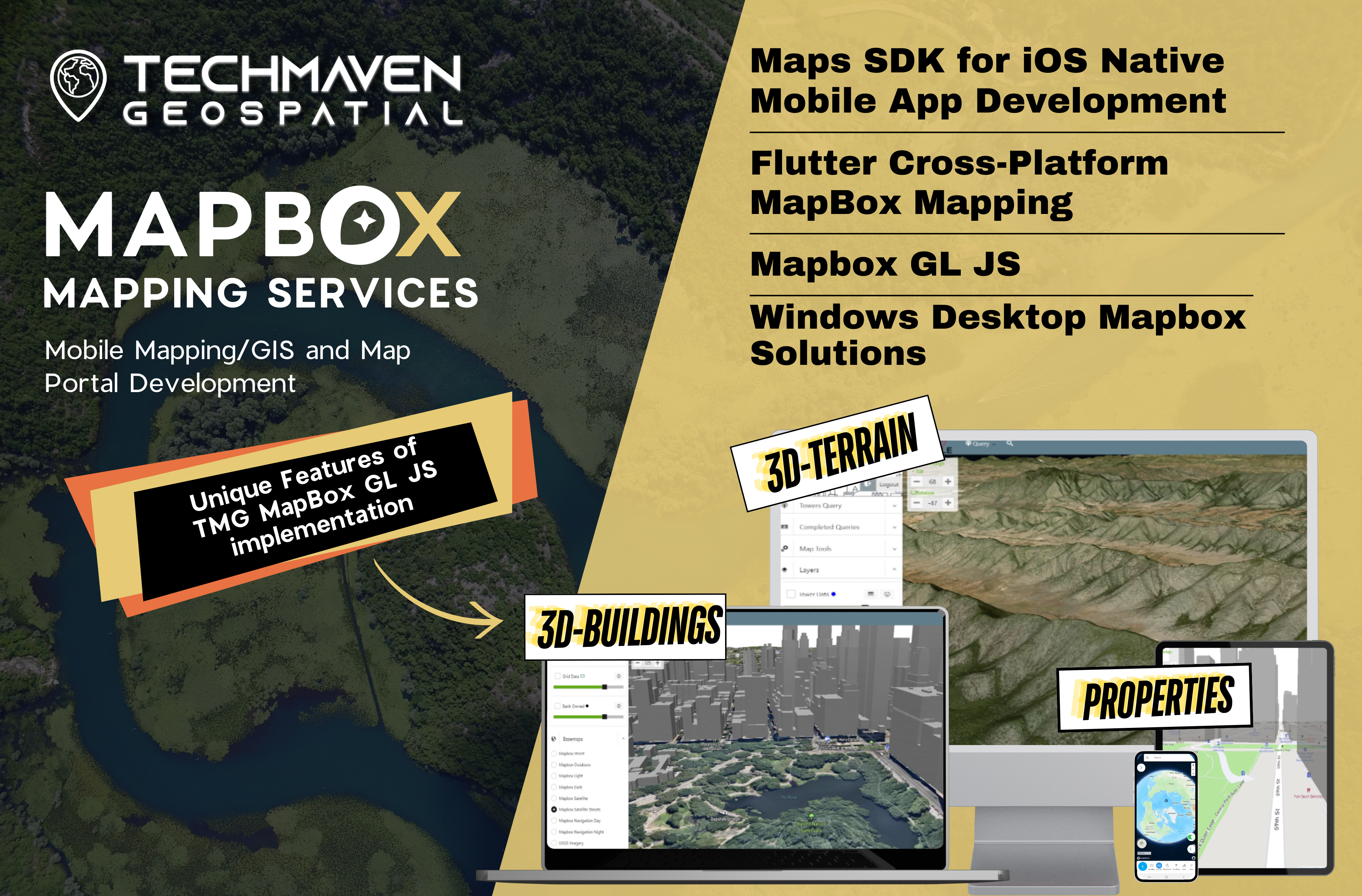
MapBox Mapping Services
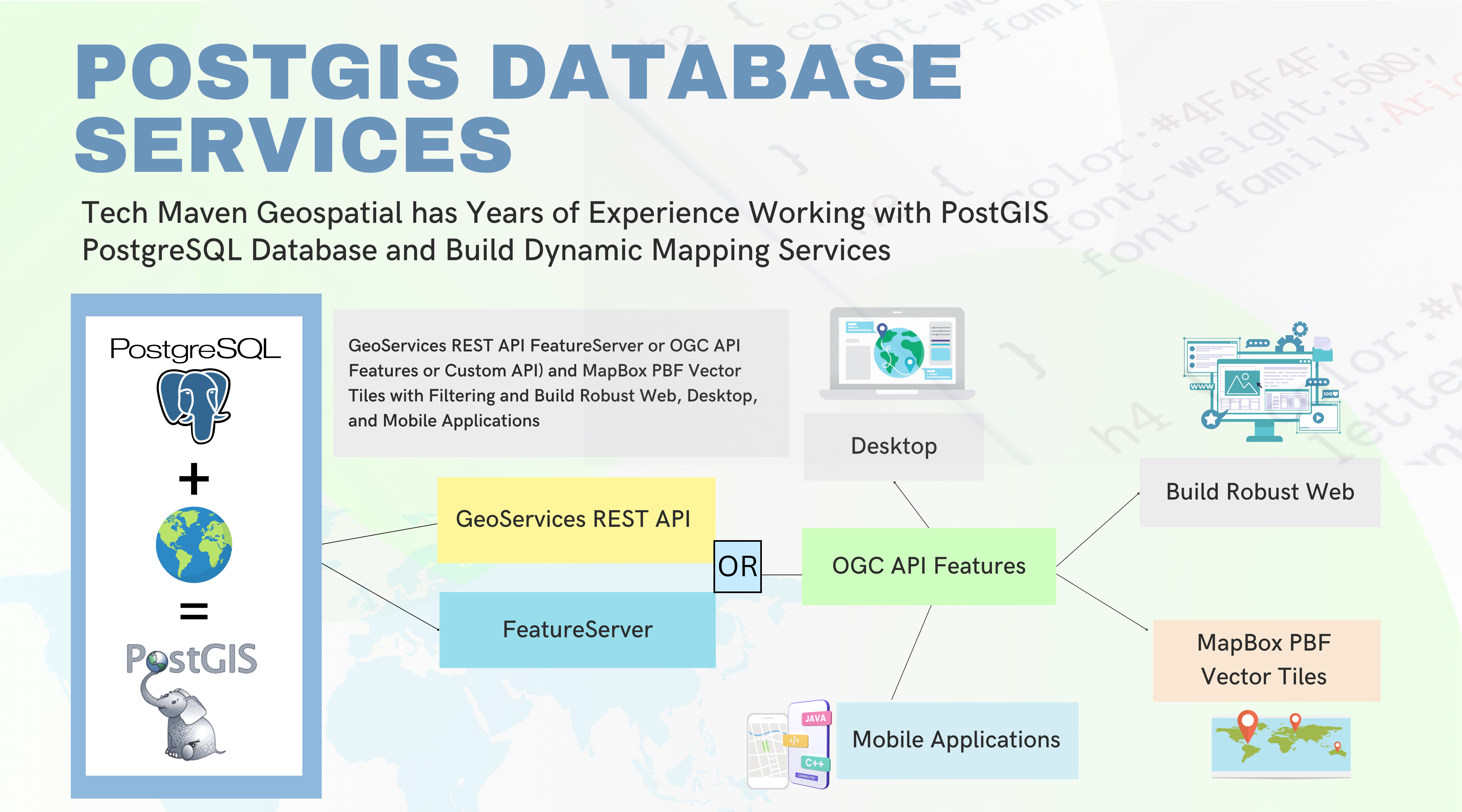
POSTGIS Database Services
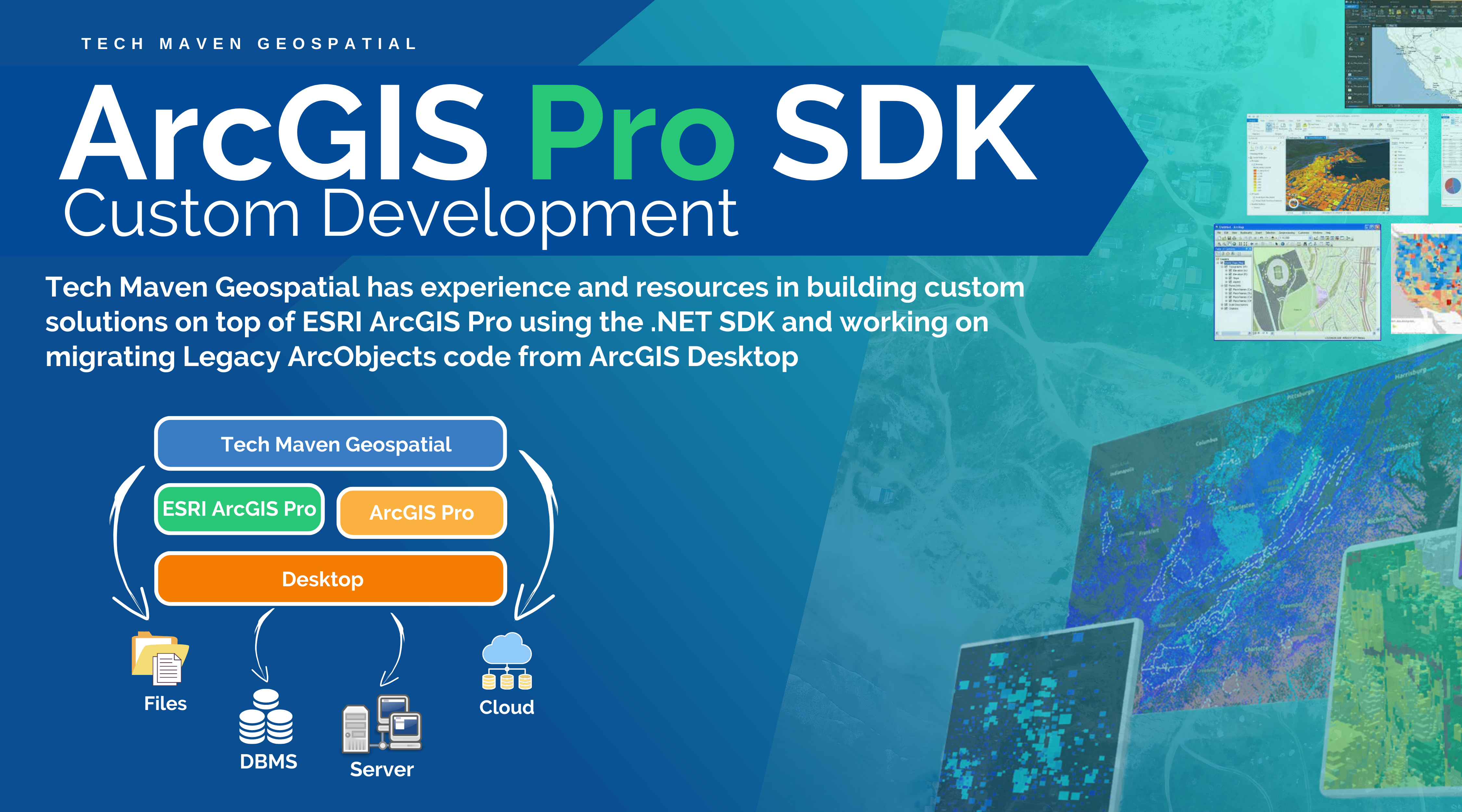
ArcGIS Pro SDK Custom Development
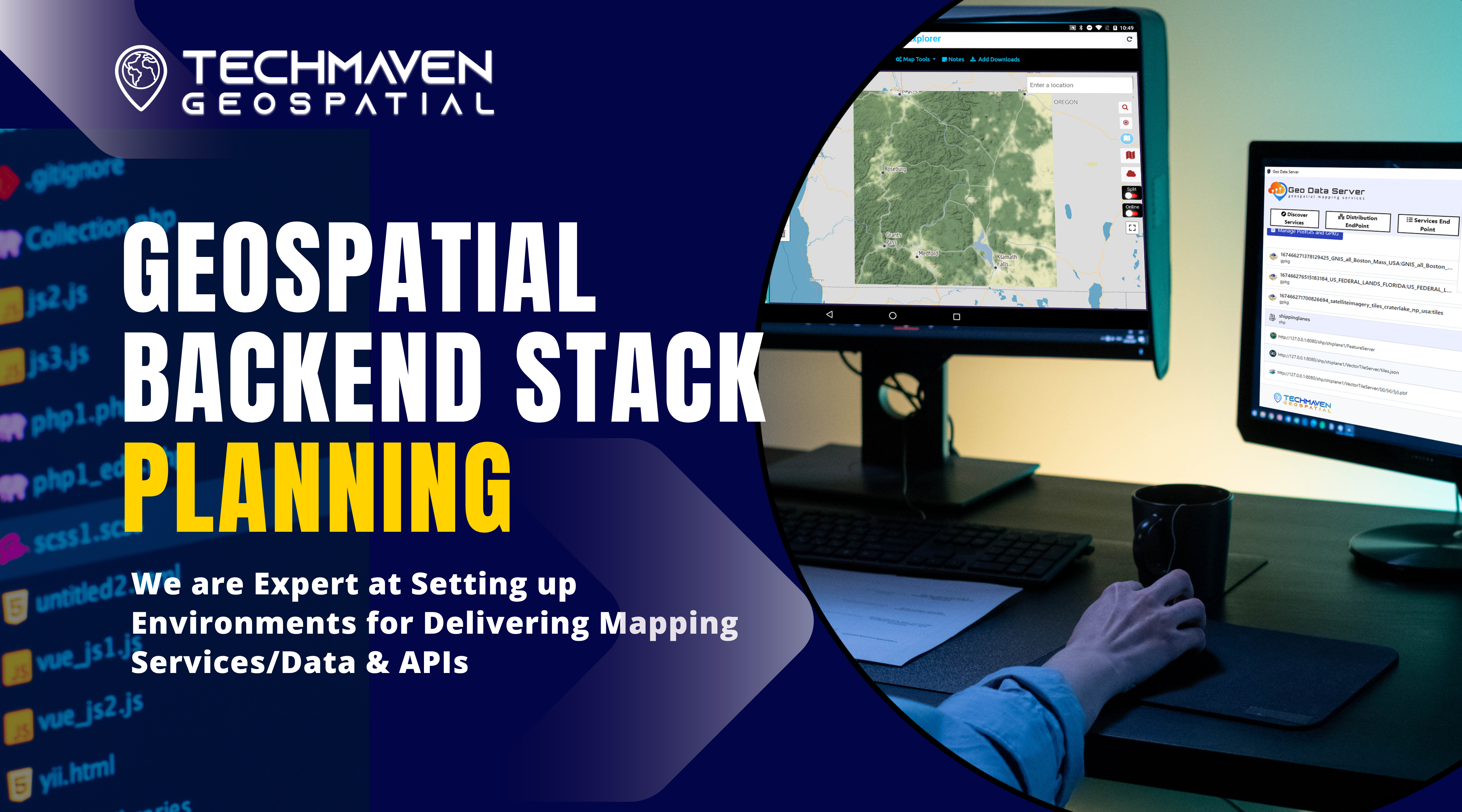
Geospatial back-end stack planning and setup
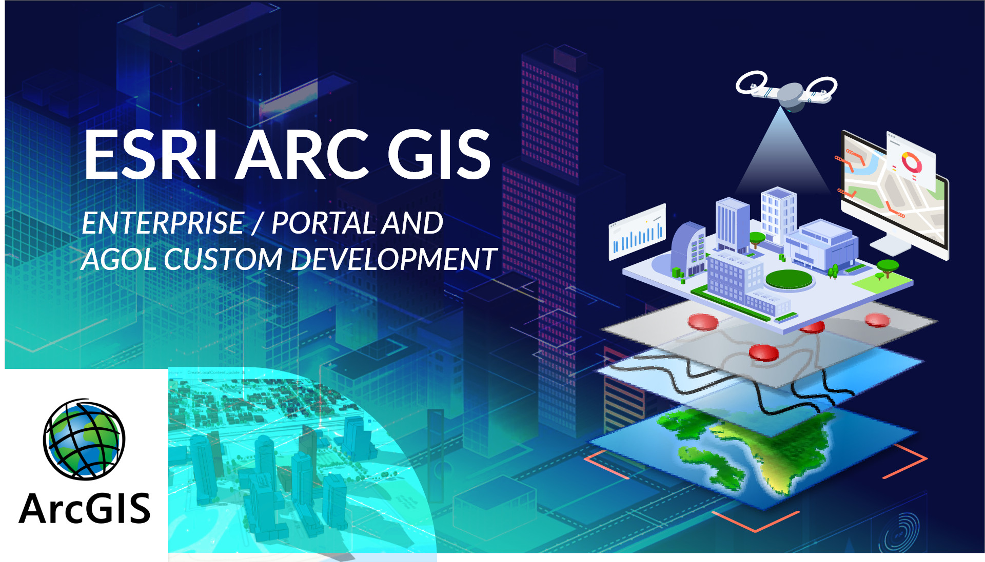
ESRI ArcGIS Enterprise/Portal and AGOL Custom Development

Real Property and Asset Management Mapping Solutions
Apps
Applications/Apps we’ve developed

Reseller Plan and Source Code Licensing
Data Processing/Conversion
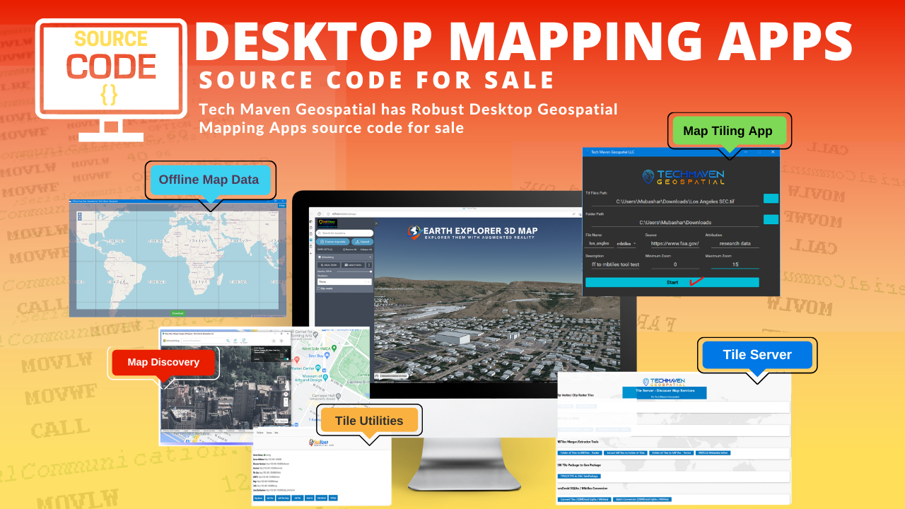
Desktop Mapping Apps Source Code
Mobile Mapping App Source Code
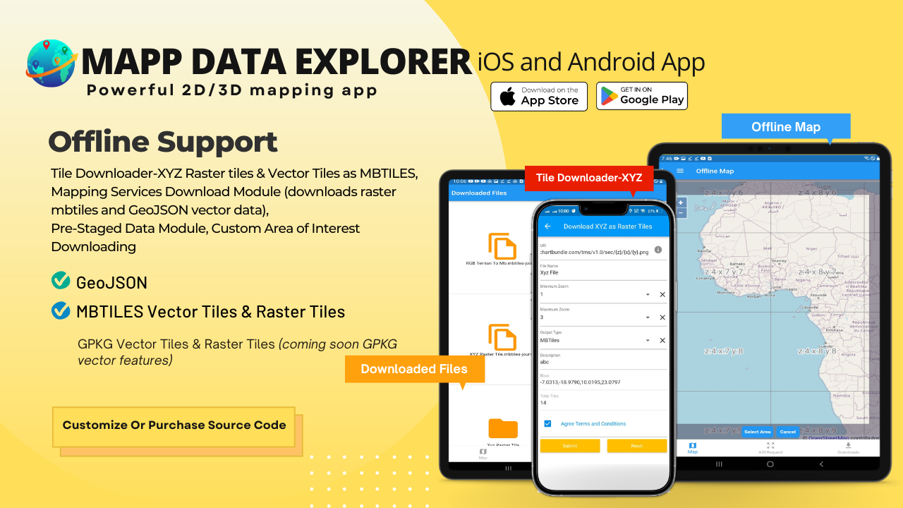
Map Data Explorer iOS/Android
DEM Downloader
Vector to Raster Tiles
Satellite Imagery Downloader
Field Data Collection Mapping Solution
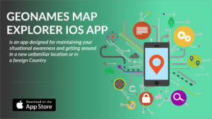
GeoNames Map Explorer iOS app
Geospatial Servers on Premise or at Edge

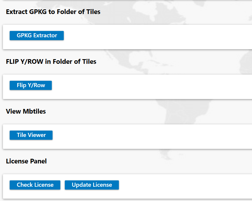
Tile Utilities

Geo Data Collector IOS App
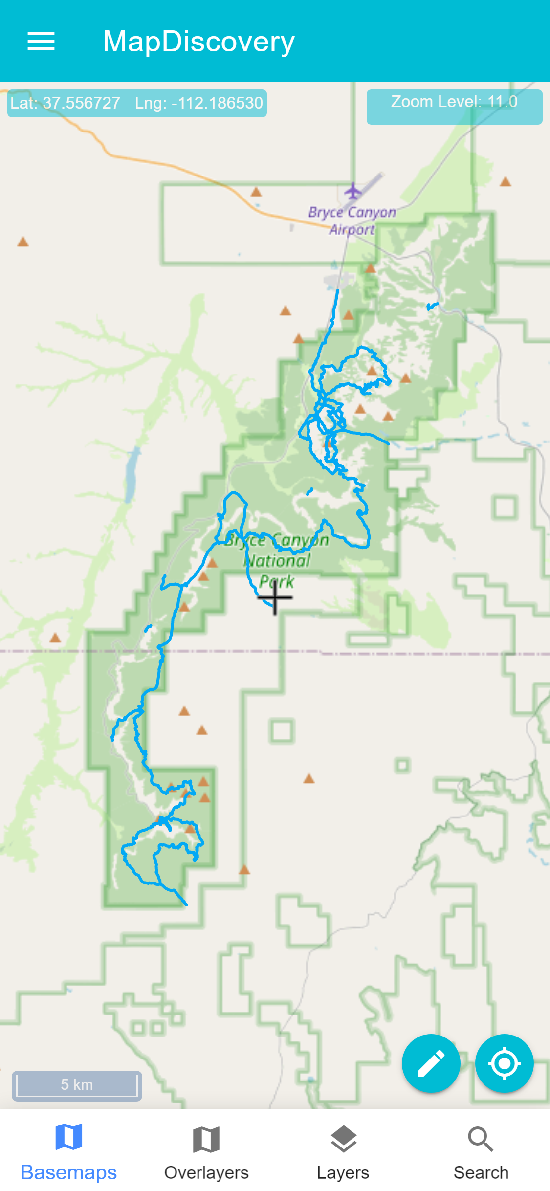
MapDiscovery Mapping App
GEOINT APPS
Windows Data Preparation and Serving Apps
Defense Capabilities
GeoNames Map Explorer
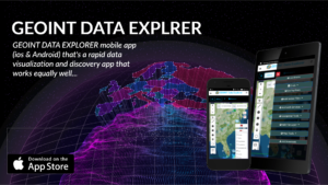
GEOINT DATA EXPLORER
Web Applications
Our Software as a Service Offerings and Other Web Applications
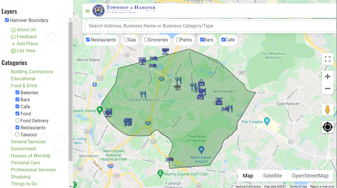
Google Business Directory
Map Export
OpenLayers Advanced Map
Leaflet 2D Advanced Map Portal Template
Geocoding-GeoEnrichment

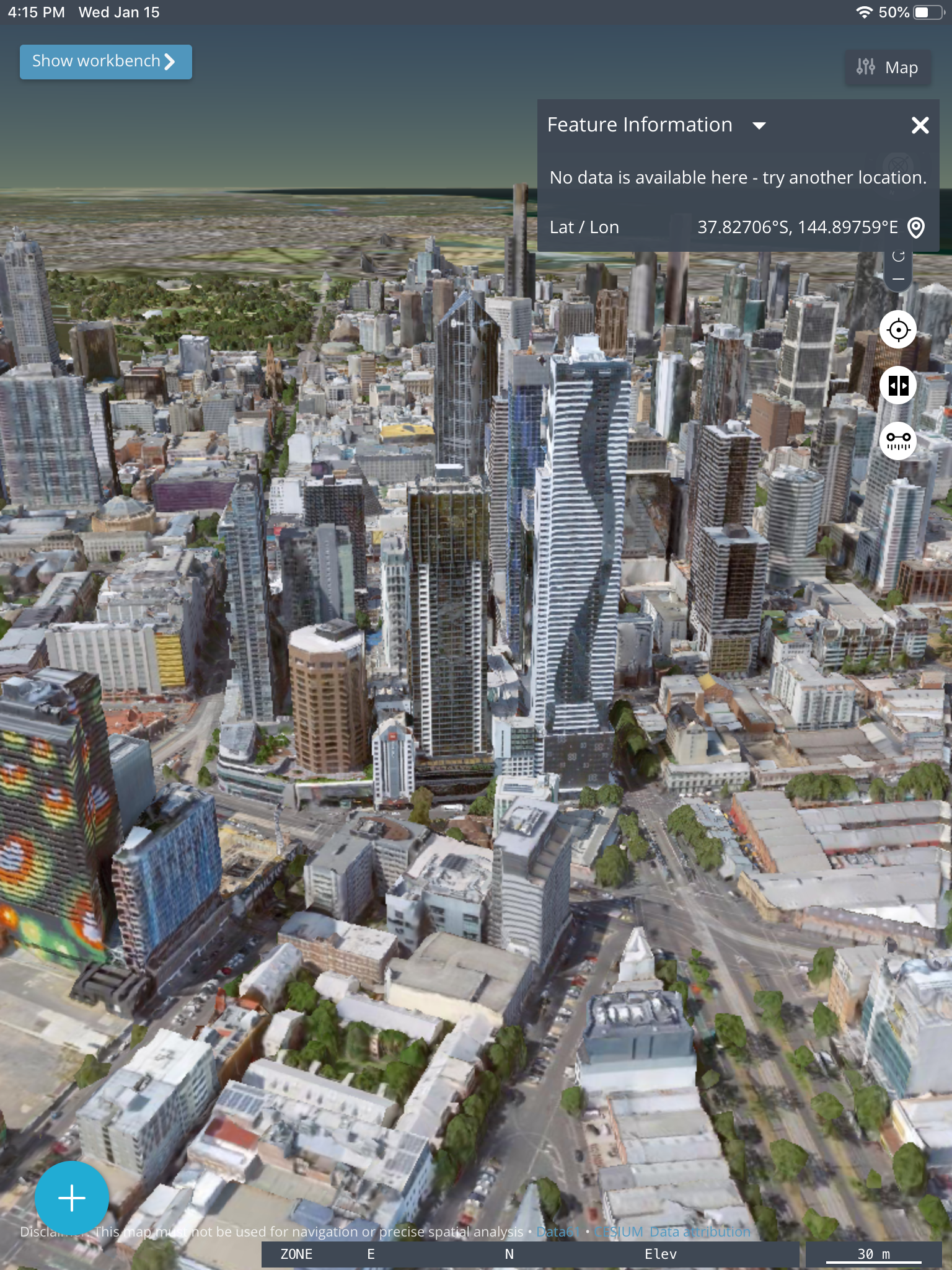
3D Globe with Terrain & 3DTiles and Models
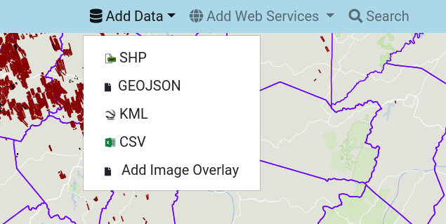
Geospatial Data Publishing
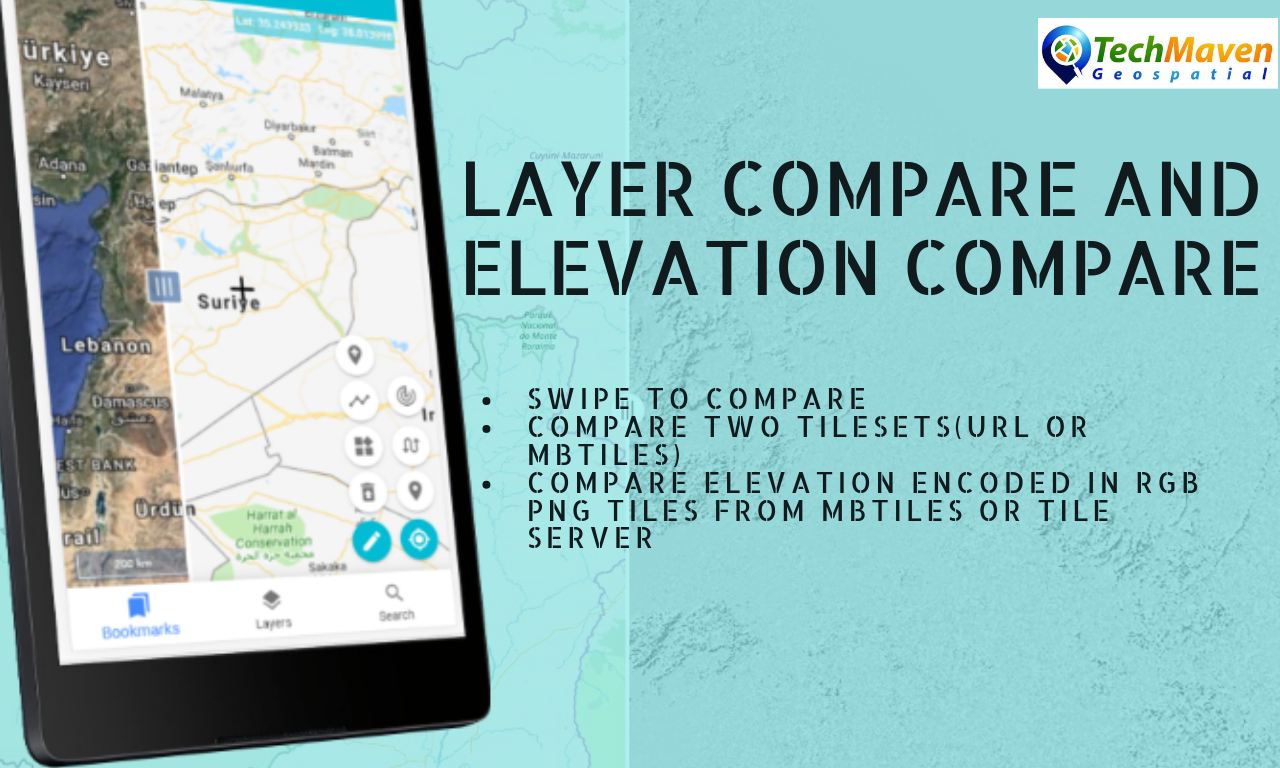
Layer Compare and Elevation Compare
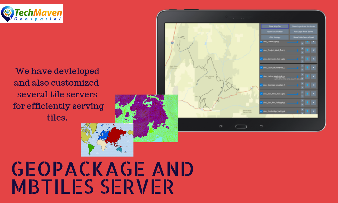
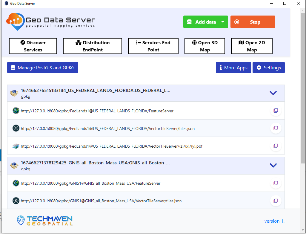
GeoPackage and MBTiles Tile Server
GeoServer Upload Raster Image Get WMS and XYZ Tile URL
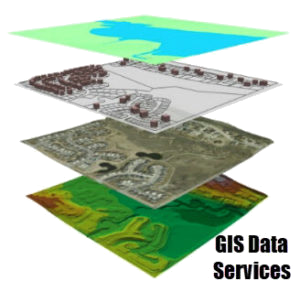
Data
Data
ArcGIS Mission Responder, ArcGIS Maps SDK, ArcGIS Field Maps, Survey123 Offline Data
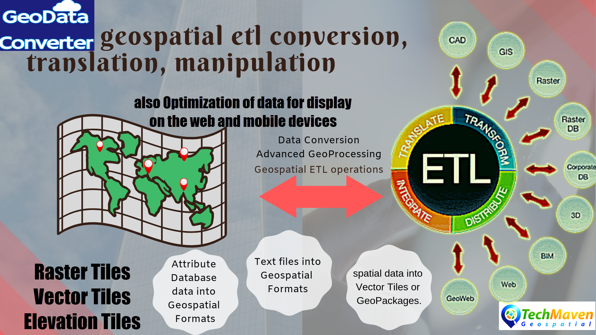
GeoDataConverter
TAK Data Services
eula_georequest_area_of_interest_data_service
Game Engines Integration
GeoRequest Area of Interest API
3DTiles_3DModels_3DGeospatialData
Map Tiling
Terrain Elevation Data Services
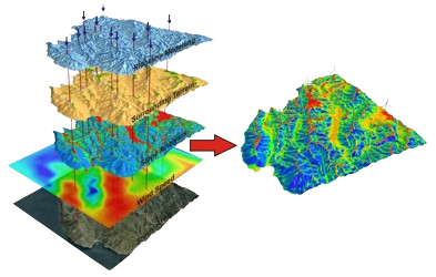
Spatial Analysis
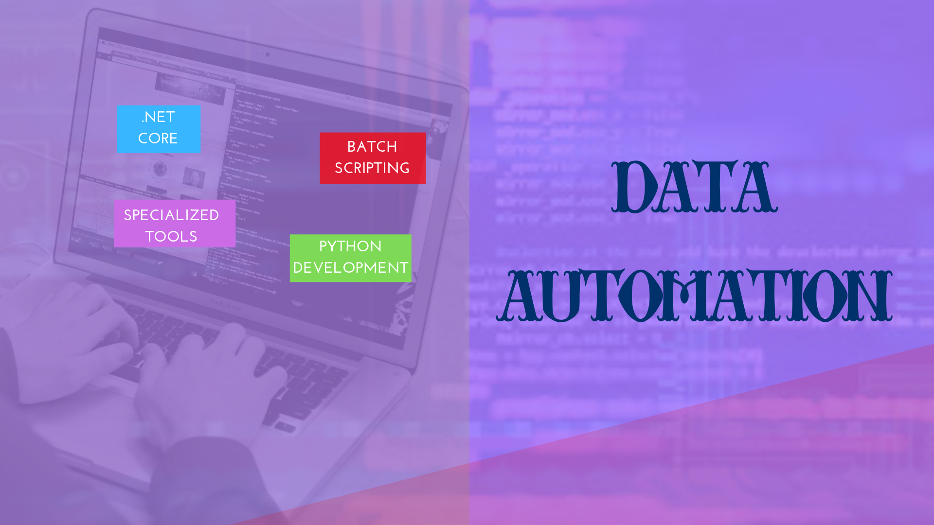
Data Automation
Pre-Cached Offline Ready Data
Data Services
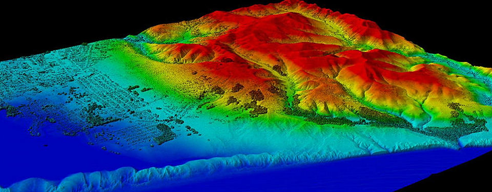
Remote Sensing
Data Services
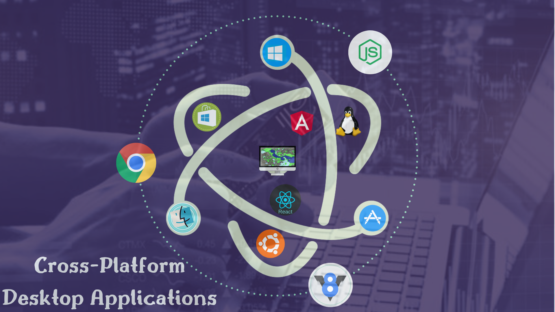
Cross-Platform Desktop Applications
In addition depending on requirements we can use javascript we utilize Electron Atom to build cross platform Desktop Applications. Our focus is in Geospatial Mapping applications that can visualize spatial data and performing data editing and collection. We are perfectly adept at building line of business applications as well.
Windows, Windows Store UWP, MacOS, Mac Store, Ubutunu Linux and other Linux Distro’s
The power of Electron is building applications that leverage the nodejs environment in Google Chromium V8 JavaScript Engine
We can build applications with React or Angular as the front-end libraries with Electron
as well as use Electron as a UI for utilities and tools
We can build headless electron apps/command line tools
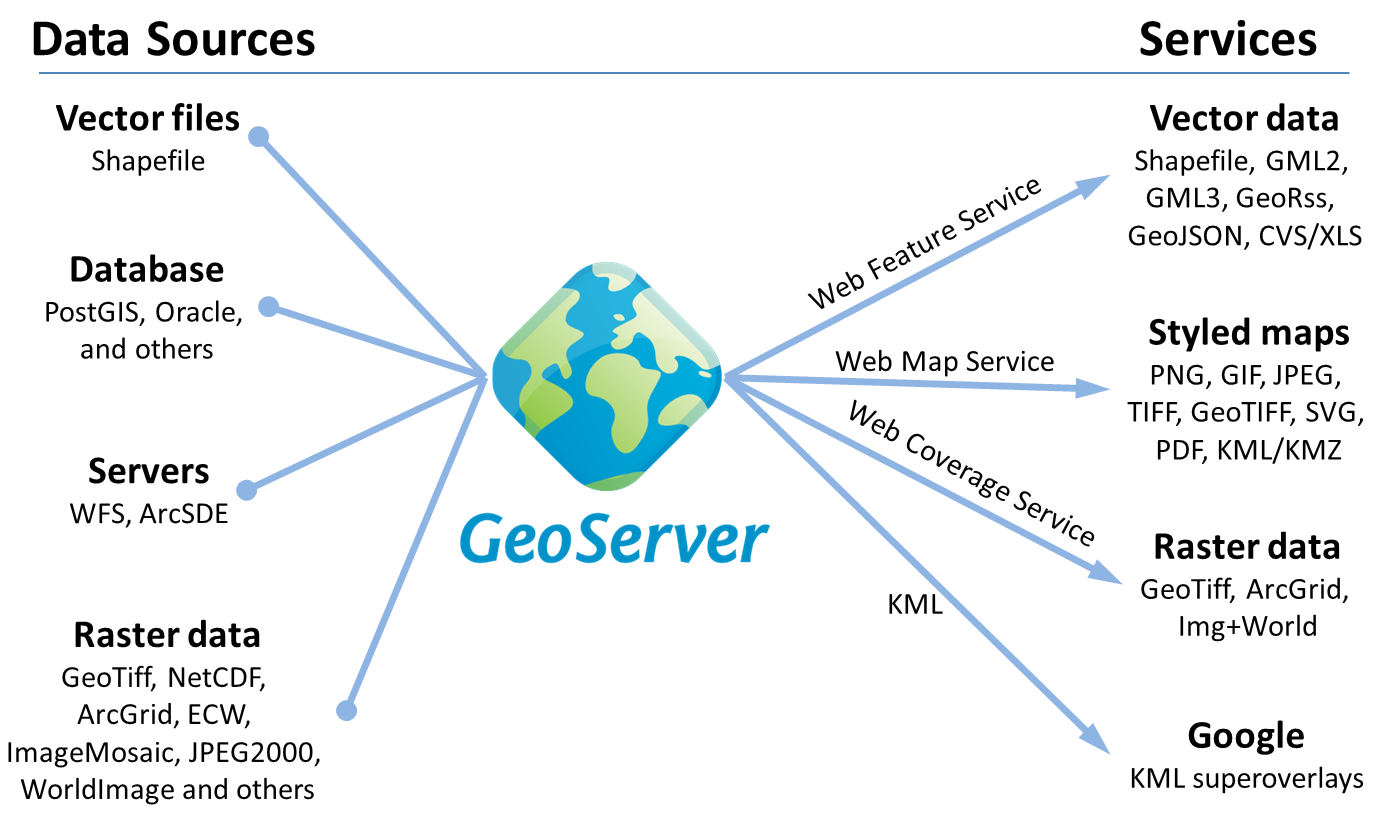
GeoServer and POSTGIS
Perform spatial functions and operations. GeoServer & GeoWebCahce with PostgreSQL/POSTGIS database are open source applications that allow you to serve up OGC Mapping Services (WFS, WMS, WMTS, TMS, WCS, WPS,etc)
We can also bypass having geoserver for your application and deliver GeoJSON, GeoBUF, MVT MapBox Vector Tiles (PBF) directly out of PostGIS Database.
We use KOOPJS or CrunchyData’s pg_tileserv and pg_featureserv to deliver dynamic vector tiles and searchable/queryable API out of POSTGIS/Postgresql Database.
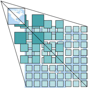
Map Tiling Production
Mobile Application Development (Geospatial/Mapping Apps)
However, we also have experience using Flutter and Apache Cordova for cross-platform solutions with mostly shared code bases.
We’ve worked with many mapping/data visualization and GIS libraries and we can develop custom apps to suit any need.
We can build apps that tie into back-end services as well as stand-alone apps and disconnected offline use.

Consulting and Custom tailored application development Services
We employ a team of developers, project managers, business analyst and data analyst that can develop specialized applications to meet the most demanding needs. We leverage FOSS4G – Free and Open Source for Geospatial Software, Tools and Libraries as well can build SDK/API’s that integrate into your existing applications and systems.
Why partner with Tech Maven Geospatial for your next project?
Code to standards
Functional
this allows us to leverage web technologies but also leverage the device and sensors and location services (GNSS), storage,
build user experiences that are natural and consistent utilizing the devices standard UI elements.
We can write once and deliver iOS, Android, UWP with Apache Cordova and as needed target desktop operating systems with Electron (Windows, MacOSX, MacStore App, Linux Distro’s)
Subject Matter Experts