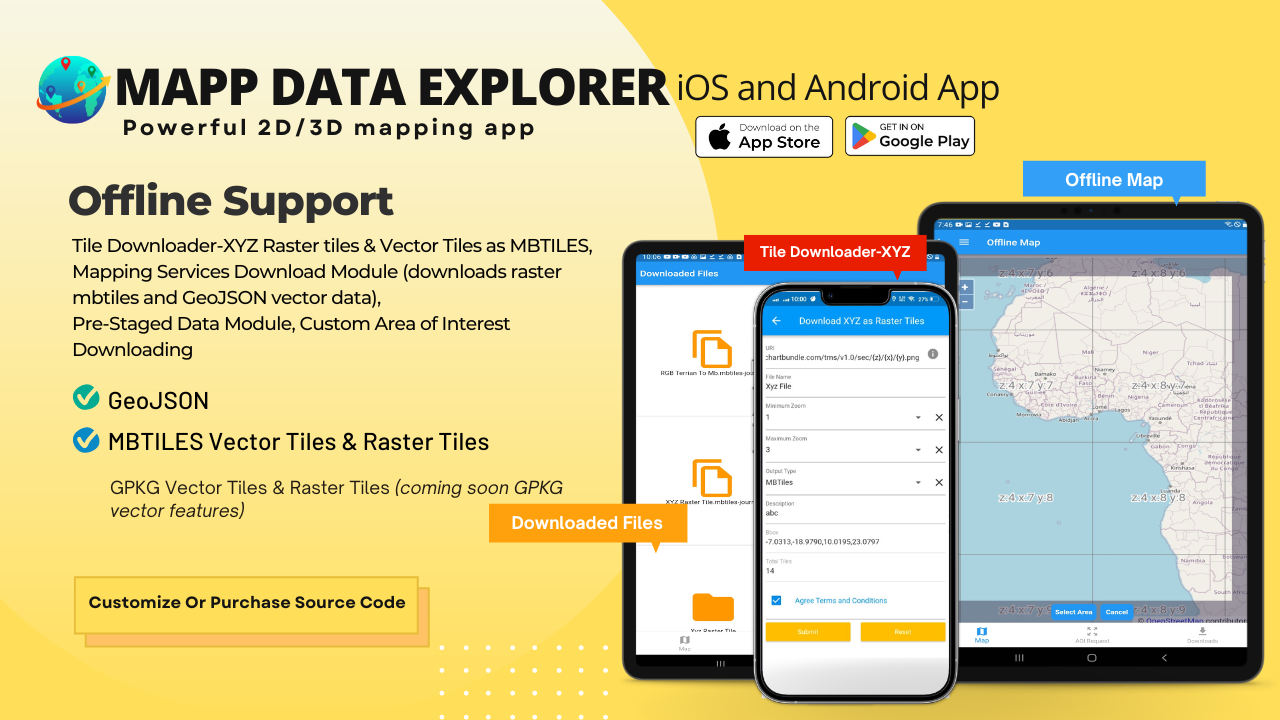
MapData Explorer iOS and Android
High-performance 3D Geospatial data mapping and data visualization app
Optimized Vector Tile Basemap with Stylepicker including Topo/Terrain Style with hillshade and contour lines and 3D Terrain and 3D Building Style
Support for the following Data:
- Raster Tiles – XYZ online URL and offline MBTILES & GPKG
- Vector Tiles – Online URL and Offline MBTILES & GPKG
- Elevation/Terrain Tiles – Online and Offline MBTILES & GPKG
- GeoJSON – Online URL and offline file
- In-app vector conversion of SHP-Shapefile, KML, GPX, CSV to GeoJSON
- via in-app purchase Tech Maven Geospatial’s Vector Conversion API can build MBTILES and GEOJSON from any supported GIS Vector Data
Create a Catalog JSON file (Project file) to rapidly configure and manage map layers
Advanced Field Collection Forms with in-app or website form builder
Switch between forms and associate photos and videos
Map Tools:
- Search – places, addresses
- Advanced dynamic data collection forms with form builder
- Draw/Digitize Data Creation and Editing
- Information Box for geojson data
- Measure linear and Area
- Geolocation & Coordinate Widget
- Go to Lat Long
- Placemarks (spatial bookmarks)
- View Spot Elevation
- Military Symbology (App6/MilSpec2525C)
- Radius Ruler/Range Rings
- Coordinate Converter
Raster Tile Basemaps like satellite imagery
Reference Map Overlays
Wifi Sharing & File Manager
Getting Offline Data
- Download from online mapping services and tiles and store as offline MBTILES ( XYZ Tile Server, PBF Vector Tiles, WMTS Tiles, ESRI MapServer, ESRI ImageServer, OGC WMS and Elevation/Terrain Tiles)
- Tech Maven Geospatial Pre-Staged Data Downloading (by Country, US State, Canadian Province and other areas) Curtaed content of basemaps and overlays including OSM Vector tiles, contour lines, hillshade, satellite imagery, reference lines and labels.
- Tech Maven Geospatial’s GeoRequest Area of Interest API Downloading (curated list of about 50 data products) stores offline in mbtiles and gpkg format.
- Access to Map Data Store
- Users load their own data
Coming soon:
- OGC 3DTILES (b3dm, i3dm, pnts) – online tiles or offline zip archive named 3DTILES
- Data Collection Form data can be synchronized to POSTGIS Database and ESRI FeatureServer (ArcGIS Online or ArcGIS Enterprise/Portal)
- Online Mapping Services Dynamic and Cached
Go to Site https://mapexplorer.techmaven.net/ mapdataexplorer.com mapdataexplorer.xyz
