The initial Consultation fee of $125 for Data or Development Services.

Geospatial Analysis

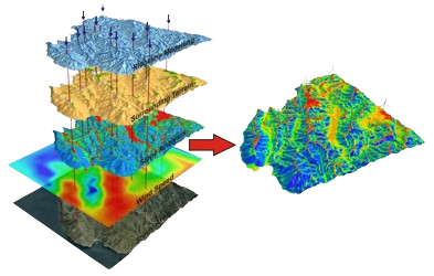
We have specialized GIS Software that allows us to perform complex and detailed spatial analysis, build models, perform spatial geoprocessing operations and look find meaning in the data.

Intersect a point with a polygon, perform buffers, advanced field calculator, utilize python code and command line tools, work with large geodatabases and attribute databases.

We also perform data cleanup, Data QA/QC and validation.

error: Content is protected !!

By continuing to use the site, you agree to the use of cookies. more information

The cookie settings on this website are set to "allow cookies" to give you the best browsing experience possible. If you continue to use this website without changing your cookie settings or you click "Accept" below then you are consenting to this.

Close