Tech Maven Geospatial’s GeoRequest Area of Interest (AOI) API
Build Offline Data (or data for within your network/firewall) from our curated prepared Regional and Worldwide data to your custom area of interest.
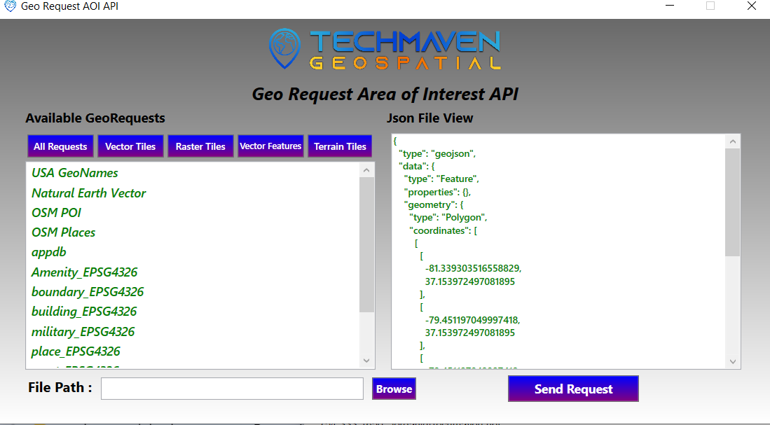
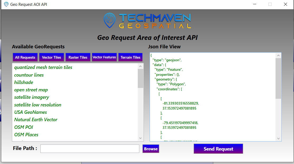
There are many ways to access this API
1) from one of our Mobile Apps
2) at the API level – we are selling this to third-party developers
3) front end submission web application
4) via Offline Map Data Generator Windows App, iOS, and Android
To access the API Please Contact with us


| ACTION | Purpose | output |
|---|---|---|
| CLIP-TILES | Clips worldwide/regional mbtiles/gpkg | mbtiles or gpkg (tiles) |
| CLIP-VECTOR | Clips Vector GPKG or PostGIS Database Table | GPKG vector features |
| DOWNLOAD-TILES | Download Mapping Services and Tiles | MBTILES |
| CLIP-RASTER | Clip TIF | TIF (future adding MBTILES and GPKG) |
| ELEVATION | Clip DEM Elevation | Elevation Tiles RGB Encoded PNG in mbtiles or LERC tiles in mbtiles or Quantized Mesh in mbtiles |
DATA available
| Raster Tile Maps | Vector Tile Maps | GPKG Vector Features |
|---|---|---|
| Hillshade | Open Street Map | GeoNames |
| Shaded Relief | Contour Lines | OSM |
| Thunderforest Terrain background | GeoNames (9 Feature classes) | GADM Administrative Boundaries |
| Reference Lines | gadm | |
| Reference Labels | International Boundaries | |
| PNG RGB Encoded Elevation Tiles | Timezones | |
| Open Topo Map | MGRS | |
| GARS | ||

