
AI and geospatial solutions empowering public agencies
mpowering Public Agencies with Next-Gen Solutions
Our Government Solutions suite is designed to help public agencies modernize operations, enhance decision-making, and deliver better services to citizens. From property appraisals and asset management to public safety and environmental monitoring, our applications combine geospatial intelligence, automation, and AI to simplify complex government processes.
Powerful Tools for Modern Government
")
Smarter Public Safety
Enhance community protection with advanced crime analysis, CAD dispatch, and records management.
Land Management
From parks and recreation to land acquisition, our tools streamline operations and improve planning.
AI-Powered Governance
Accelerate permitting, licensing, and property appraisals with geospatial and AI-powered technology.
Core Solutions
Code Enforcement and Inspection
Ensure compliance with local codes through digital inspection tools that streamline case management and reporting.
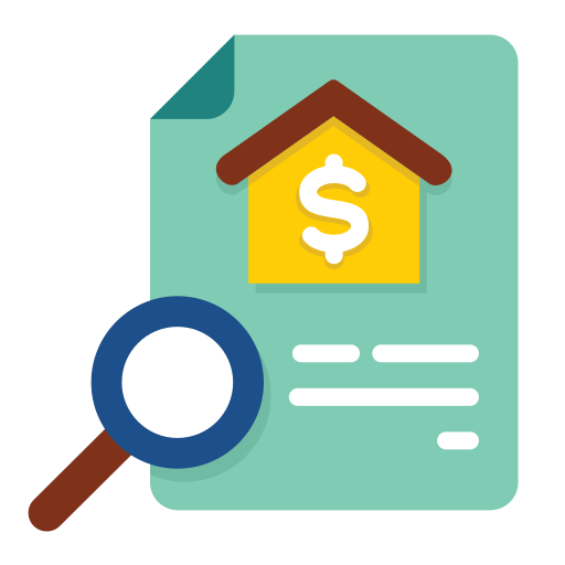
CAMA Property Appraisal
Modernize property valuation with advanced CAMA systems for accuracy and efficiency.
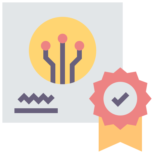
Automated Valuation Models (AVM)
Leverage AI-powered AVMs for fast, reliable property assessments.………….

Public Safety Crime Analysis
Support law enforcement with data-driven crime mapping and predictive analysis.
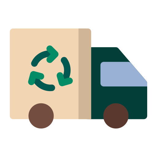
Trash Recycling and Bulk Pickup
Optimize waste management services with scheduling, routing, and citizen engagement tools.

Call Before You Dig
Protect infrastructure and citizens by enabling smarter planning before excavation.
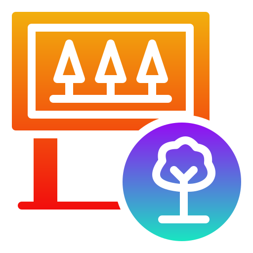
Park and Recreation Asset Management
Manage park facilities, properties, and environmental assets through integrated CMMS systems.

Public Information Requests & Distribution
Simplify citizen engagement by streamlining public information requests and transparent data sharing.
AI-Powered GIS Permitting & Licensing
Accelerate approvals with automated, GIS-enabled permitting and licensing systems.
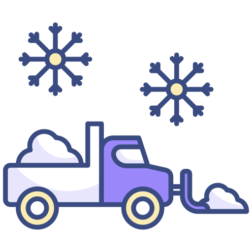
Winter/SNOW Operations
Enhance winter response with real-time tracking of snow removal and de-icing operations.

CAD Dispatch and RMS Records (Public Safety)
Improve emergency response with integrated dispatch and record management systems.

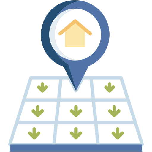
Land Acquisition and Site Suitability
Identify, analyze, and manage land for development, conservation, and maintenance projects.

Hazard Mitigation and Risk Analysis
Strengthen resilience with tools for disaster preparedness and risk assessment.

Business Geospatial Analysis
Replace legacy tools with advanced geospatial business intelligence for urban planning and community development.
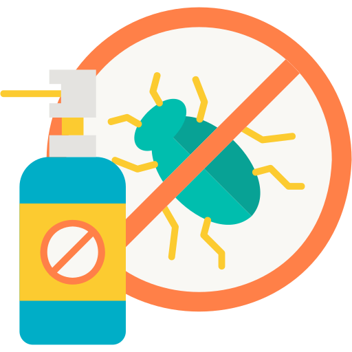
Mosquito and Pest Control
Protect public health with spatial monitoring and targeted pest management solutions.
Capital Improvement Project Tracking
Monitor project progress with interactive maps and performance dashboards.