Geoint Advanced Solutions
Next-Generation Geospatial Intelligence & Defense Technologies.
Comprehensive Mission Planning & Intelligence Solutions
Empowering defense professionals, geospatial intelligence teams, and mission planners with cutting-edge collaborative whiteboard mapping, real-time data visualization, and advanced C2 capabilities.
Multi-Platform Technology Stack
Core Solution Portfolio
Unity XR/AR/VR Solutions
ArcGIS Maps SDK integration with Google Maps for immersive 3D visualization and mixed reality applications.
Unity XR/AR/VR Solutions
ArcGIS Maps SDK integration with Google Maps for immersive 3D visualization and mixed reality applications.
Unity XR/AR/VR Solutions
ArcGIS Maps SDK integration with Google Maps for immersive 3D visualization and mixed reality applications.
Core GEOINT & Defense Capabilities
Core GEOINT & Defense Capabilities
APP6/MilSpec2525D Military Symbology
TAK Server Integration (UDP/TCP)
Variable Message Format (VMF) - MIL-STD-6017
Link 16 & Link 22 Protocol Services
SADL & JREAP Protocol Services
Core GEOINT & Defense Capabilities
APP6/MilSpec2525D Military Symbology
TAK Server Integration (UDP/TCP)
Variable Message Format (VMF) - MIL-STD-6017
Link 16 & Link 22 Protocol Services
SADL & JREAP Protocol Services
Multi-Level Security Framework
Classification Support
UNCLASSIFIED through TS/SCI
AES-256-GCM
Military-grade encryption
Role-Based Access
Clearance validation
Audit Logging
Complete event tracking
Satellite Tracking & BFT Integration
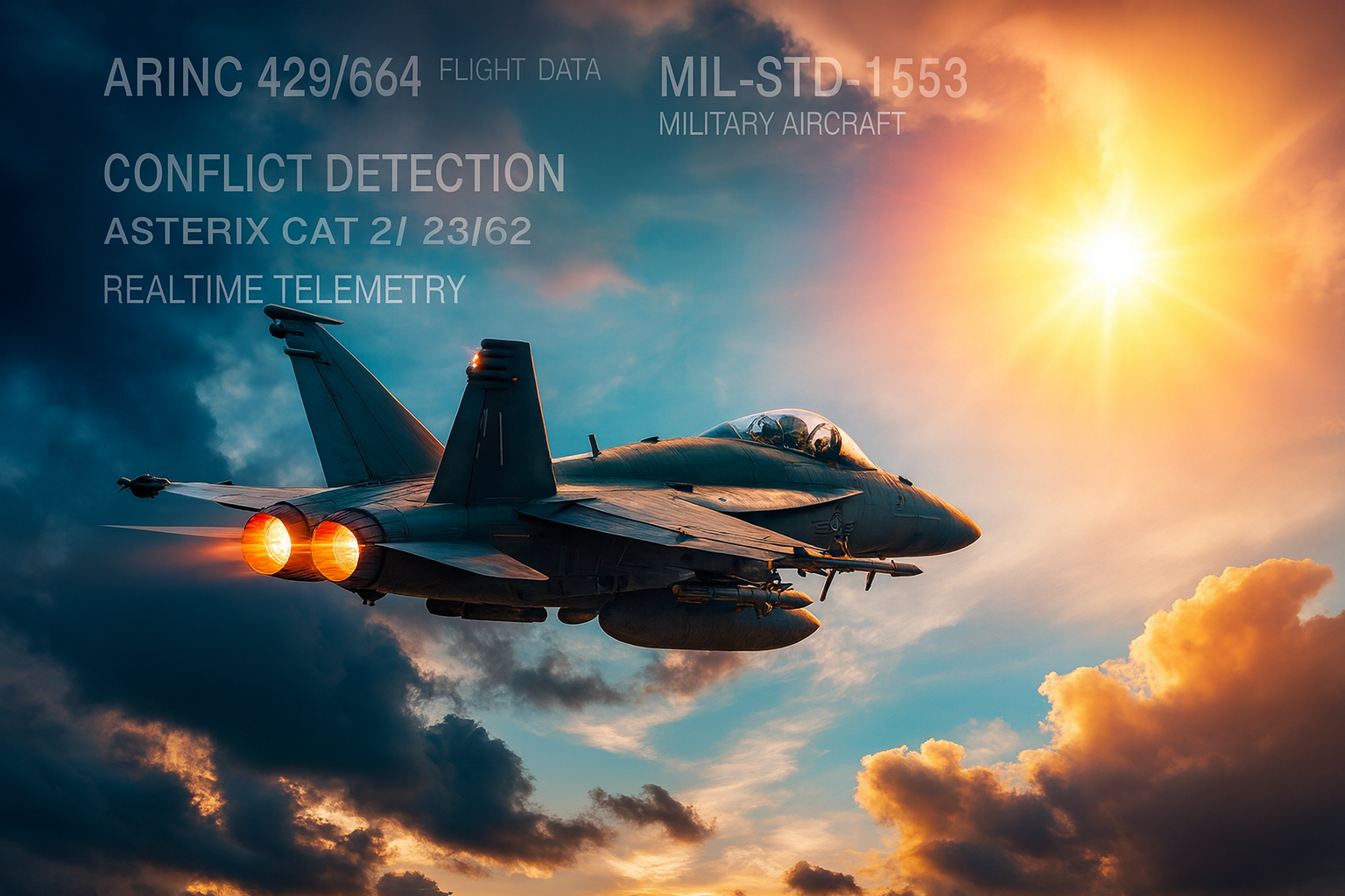
Aviation Systems
- ARINC 429/664 Flight Data
- MIL-STD-1553 Military Aircraft
- ASTERIX CAT 21/23/62
- Real-time Telemetry
- Conflict Detection

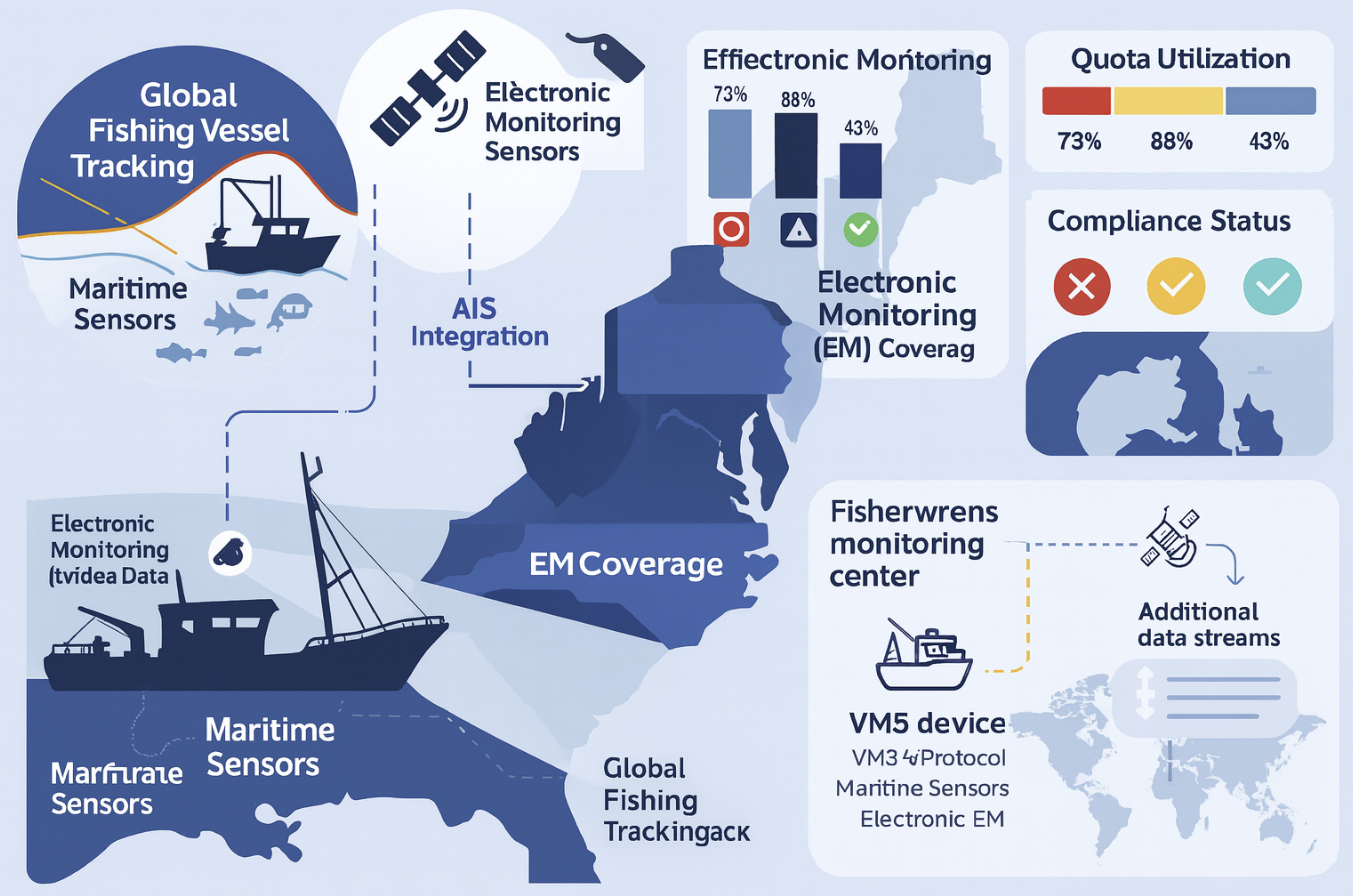
Marine Systems
- NMEA 2000 Marine Network
- SeaTalk Protocol
- AIS Integration
- Vessel Systems Monitoring
- Maritime Sensors

Tactical Operations
- 9-Line MEDEVAC
- Call for Fire
- SPOT Reports
- Checkpoint Operations
- Military Radio Protocols

IoT Sensor Fusion & Analytics
Real-Time Data Processing
ThingsBoard & NebulaStream Integration
ESRI StreamServer Compatibility
DuckDB Spatial Analytics
WebSocket Live Streaming
Real-Time Data Processing
AI GeoEnrichment & Entity Extraction
Voice-to-Text & Voice-to-Voice
Meshtastic LoRA WAN Support
Counter-UAS System Integration
Prepare Your Agency for the Future of GIS
Ready to deploy next-generation geospatial intelligence solutions for your organization.
