Data Services
Data Management and Publishing
Curating and Publishing Metadata and data catalogs utilizing open data portals to publish (CSW, CKAN, SOCRATA, DATA HUB, OTHERS)
Spatial Data Infrastructure (SDI) Management and Planning.
Publishing Geospatial Data Services via OGC Mapping Services (WFS-Web Feature Service, WCS-Web Coverage Service, WMS-Web Map Service, WMTS, WPS and others) We build custom mapping portal solutions
Geospatial Data Content Management Systems – GeoNode, Cartaro, GeoMoose, MapBender, Custom solutions


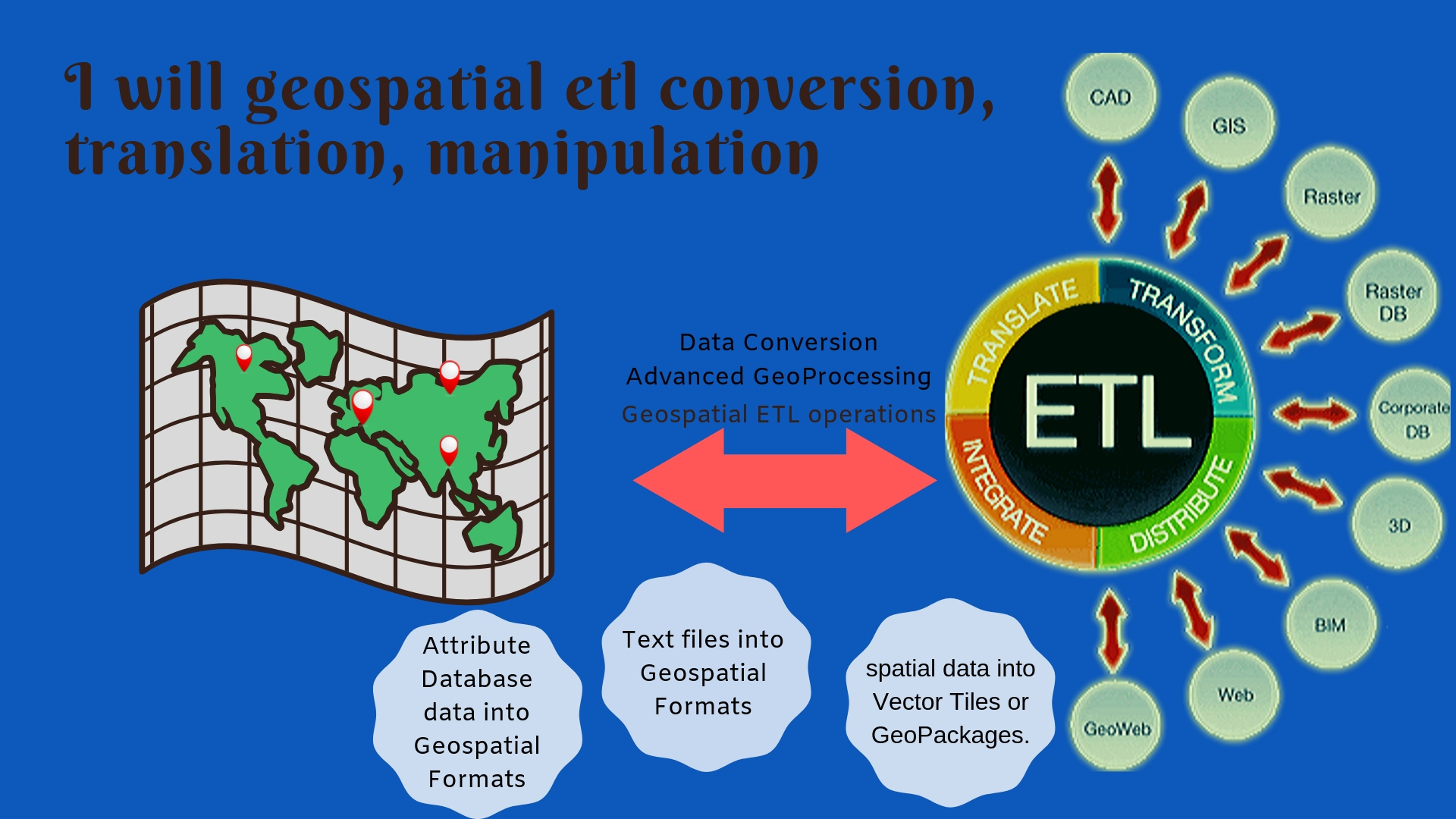
Data Conversion, Transformers, Translation, Optimization, Validation, Inspection
We are experts at performing Geospatial ETL operations and utilize both commercial software and open source tools and software and scripting languages batch and python.
From simple filtering of data, aliasing fields, concatenation of fields, changing data types, normalizing data we do it all
Data Conflation Services – integrating data from multiple sources collected via different means or at different spatial resolutions.
Data Creation
heads-up digitizing
Geocoding


GIS Database Design
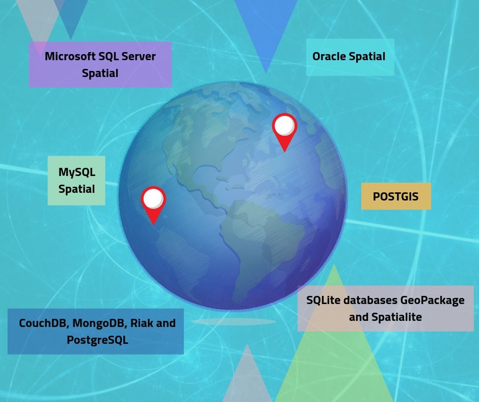
We develop enterprise geodatabases that can leverage open source POSTGIS with it’s spatial functions and data types or use MySQL Spatial, Oracle Spatial, Microsoft SQL Server Spatial, or ESRI ArcGIS environment with FileGeodatabases, Enterprise Geodatabases (SDE) with models and domains and subtypes.
File based and portable SQLite databases GeoPackage and Spatialite.
No SQL (Schema less JSON document Stores) CouchDB, MongoDB, Riak and PostgreSQL.
Special databases for any use case. We can model the databases and create Entity relationship Diagrams as well as UML documents.
Web Processing Service (WPS) and API’s
We can setup special functionality as part of an OGC WPS we work with GeoServer WPS, 52degree North, deegree and Others.
We also work with GDAL, GeoTools, JTS Topology Suite as server side modules to perform spatial functions and operations

