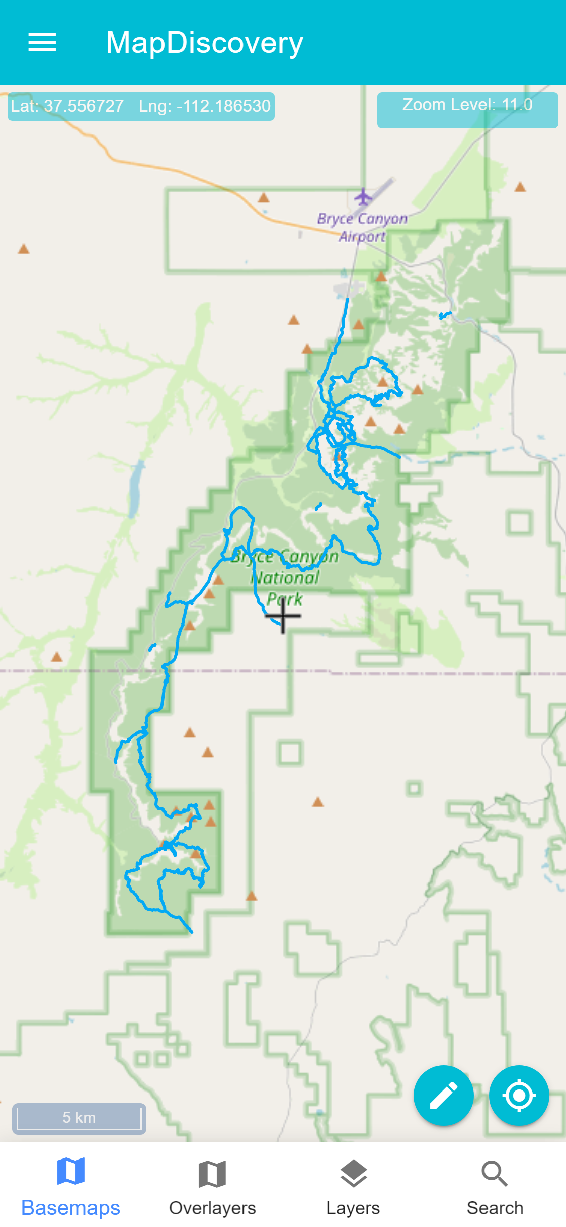
It has 2D Advanced Map Viewer – IN-APP VECTOR TILING & Advanced display of local vector data. Supports offline Tiles, 3D Models and 3D Tiles.
Users are able to load GIS mapping data: mbtiles, gpkg, Shapefiles (zipped), KML, GPX, GeoJSON. The app supports data creation and editing digitizing / drawing vector features, Analysis tools like measure distance and area, map swipe, getting elevation, viewing attribute tables.The app includes tile downloading module is able to create offline geopackage raster tiles from online basemaps/tile serversdels and 3DTiles

