Tech Maven Geospatial has Prepared Ready to go Foundational GEOINT Data
For your Offline Mapping Needs
On-Premises/Within Firewall Mapping Environment
✓ Raster Tiles (3857)
✓ Vector Tiles
✓ Vector Features
✓ Terrain/Elevation Tiles (multiple formats are available)
in both MBTiles and GeoPackage SQLite Databases formats)
We also now have this data available in ESRI Tile Package Format (TPKX and VTPK)
We can also translate these formats into other widely used formats to meet whatever specific need you have and to accommodate your mapping platform. See List
PRICING:
WORLDWIDE $10,000/year for unlimited use and rights + our pre-staged Countries, Regions, US States, and Canadian Provinces
USA (CONUS, Alaska, and Hawaii and Territories) – $4,500/year for unlimited use and rights
Canada $4,500/year unlimited use and rights
Worldwide Data
USA
Canada
Optional Data is rapidly produced for that Area of Interest from Our GeoRequest API
- GeoNames Points of Interest GeoPackage Vector Features and Vector Tiles
- OSM Points of Interest – Geopackage Vector Features and Vector Tiles
- Many other data products

The Data includes the following:
- OSM Vector Tiles (produced regularly from Planet PBF Download from Open Street Map) Compatible with OpenMapTiles/MapTiler Data GL JSON Stylesheets 85gb
- HillShade Raster Tiles 0-12 400gb
- Contour Line Vector Tiles with elevation labels 9-14 143gb
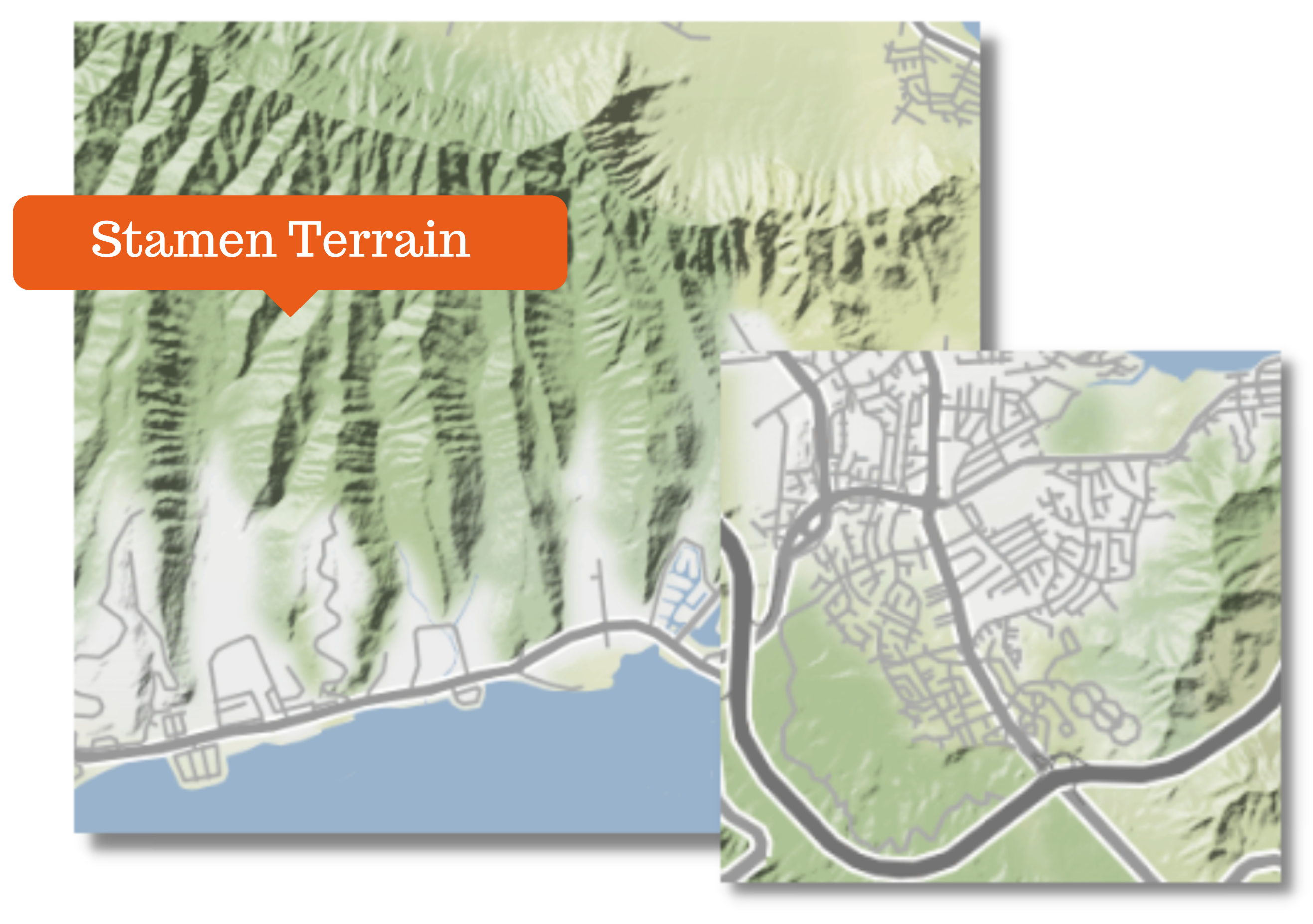
- Stamen Terrain Terrain Background Style – Shaded Relief Map
- Stamen Terrain derived from OSM -Reference Lines and Reference Labels Raster Tiles (great for combining with Satellite imagery to make hybrid )
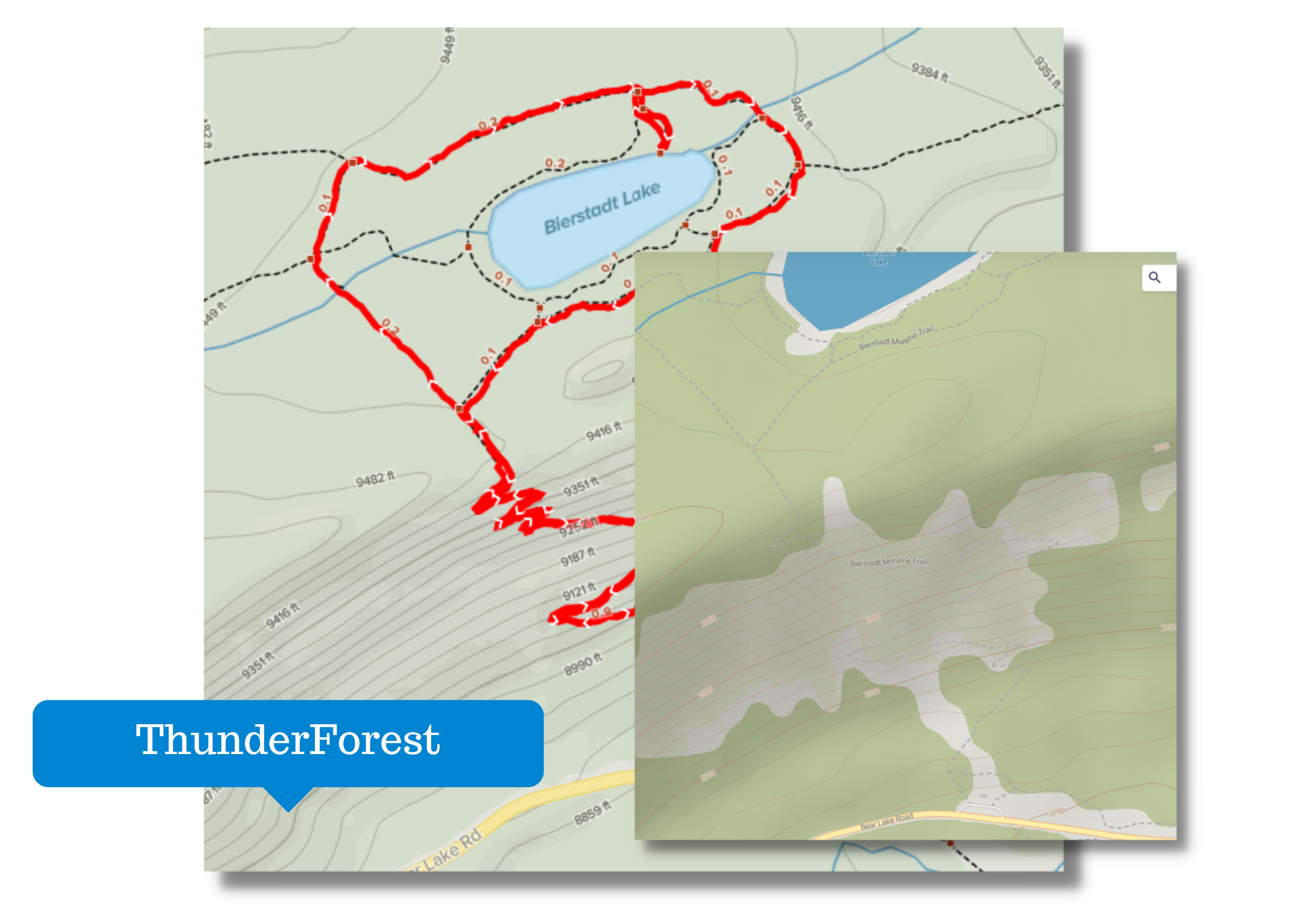
- Thunderforest Outdoors Basemap
- Satellite Imagery
- Quantized Mesh Terrain Tiles
- RGB Encoded PNG Elevation Tiles MapZen Terrarium Spec

In Addition,We Can Develop Custom Offline Maps to Suit Any Needs
We have the bandwidth and CPUs to handle processing satellite imagery to zoom level 24 and large scales
Raster Tiling
Specialized Raster Tiling Services
Image Optimization – Providing the best compromise for file size and quality
Composing multiple tile layers together
Changing Colors, Adjusting Transparency/Opacity
Vector Tiles
MapBox Vector Tiles (GZipped PBF Protocol Buffers) in TMS schema in Mbtiles or can be a folder of XYZ or TMS tiles.
We have tools to package Vector Tiles inside GPKG
We have specialized tools for building vector tiles from databases and Vector GIS Data.
Elevation/Terrain Tiles
We have optimized terrain tiles for processing in HGT format for the entire world on our server
We have worldwide elevation data from multiple sources
There are several formats we can deliver.
PNG with RGB values with a formula representing height/elevation (Either MapZen or MapBox Spec)
Cesium Terrain Formats – Quantized Mesh and Heightmap Formats
GeoPackage Gridded Coverage Elevation
DTED2 or DTED3 for ATAK/WINTAK and other Mapping Clients
Stamen Terrain and Thunderforest


Extracts/Downloads from Publicly Available Tile Servers, Map Servers
Build custom offline maps from your existing GIS Data or Raster Imagery
We are experts in offline limited availability mapping
Vector Tile Basemaps and OverViews
Area of Interest of existing Mbtiles and GeoPackages
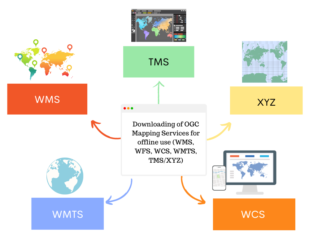
Downloading of OGC Mapping Services for offline use (WMS, WFS, WCS, WMTS, TMS/XYZ)
Downloading of ESRI ArcGIS Mapping Services (Feature, Image, Map)


MBTILES SQLite
MBTILES is probably the best format with vector tiles and raster tiles. GeoPackage is good with it’s Vector Features (similar to WKB geom column) and flexible projections for raster tiles.
Data Products
We have many data products staged and ready to go.
We can also cut an area of interest (clip) the data and also reduce the number of zoom levels as needed to keep file size down.
Other Supported Formats
Other Formats Supported:
1. BSB Nautical Chart Format (KAP)
2. Tagged Image Format (GeoTiff)
3. JPG2000 JP2, JPK
4. KML SuperOverlay and KMZ
5. OziExplorer .map
6. OziExplorer.OZFx2 and 3
7. Meta Raster Format (MRF)
8. OZI
9. Geospatial PDF (GeoPDF)
10. Rasterlite
11. ESRI TilePackage (TPK)
12. ZMap Plus
13. Garmin JNX Format
14. RMaps SQLite
15. MapTech Topo Maps and Aerial Navigation Chart
16. NITF RPF
17. ECW
18. Zoomify Format
19. Enterprise Database Raster formats (Oracle Spatial, MySQL Spatial, PostGIS, SQL Server Spatial, DB2, etc)
20. Different tiling schemas
These data products are available in
Offline Map Data Generator
- Windows
- Mobile (iOS and Android)

